Day 2: Vernon Lake to Tiltill Valley (June 9, 2013)
 I woke up with the sun again this morning to a canopy of mosquitoes staring down at me from the other side of my tent’s mesh. The morning quickly warmed up as I lay there looking up at the pests until it was too warm for me to stay in the safety of my tent. It wasn’t long after climbing out of the tent before I felt the first bite.
I gathered up my cooking supplies and made my way to a nearby sunny rock overlooking the lake. Direct sun made for a hot start to the day, but it kept the mosquitoes down to a manageable level.
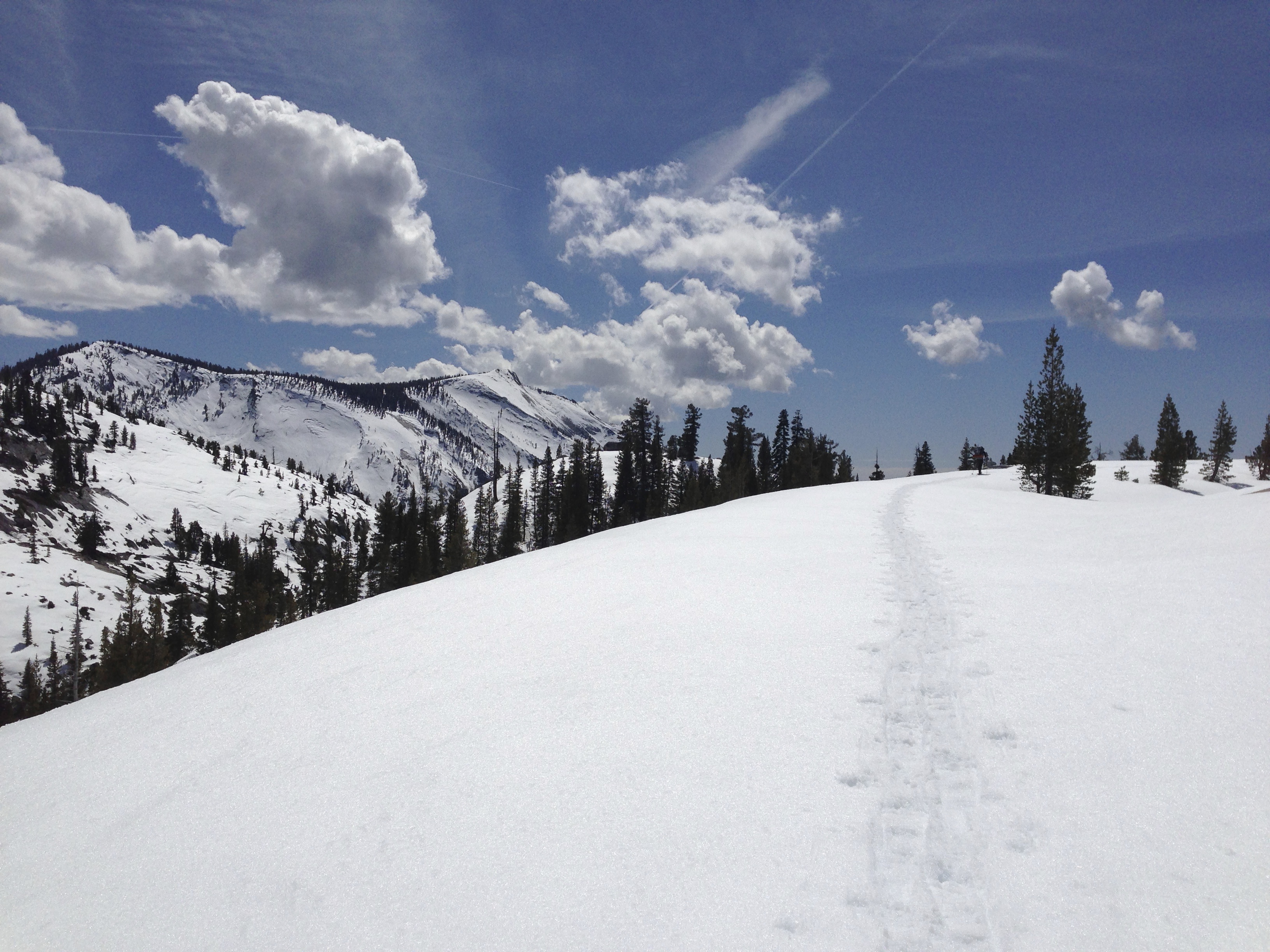
After breakfast we hit the trail. It was 9:30AM and the temperature was already approaching 90°F as we made our way up an exposed granite face towards the ridge. This was the last major climb of the trip.
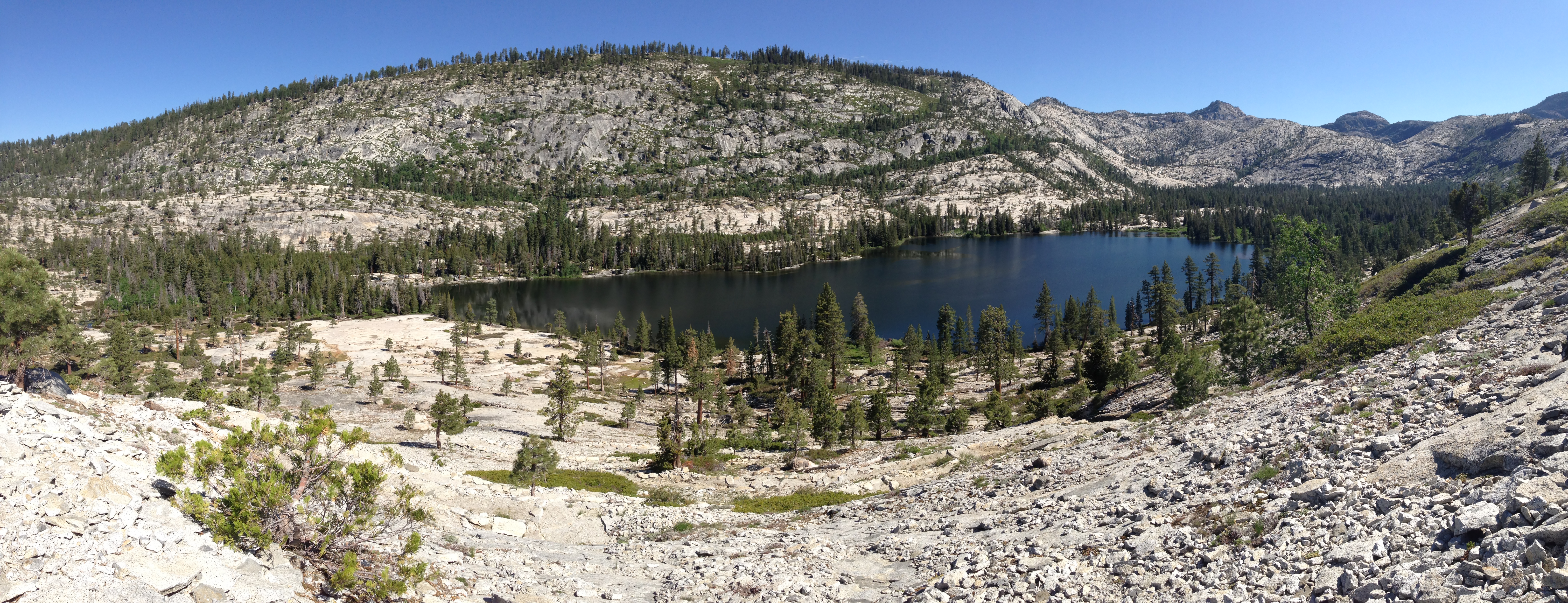
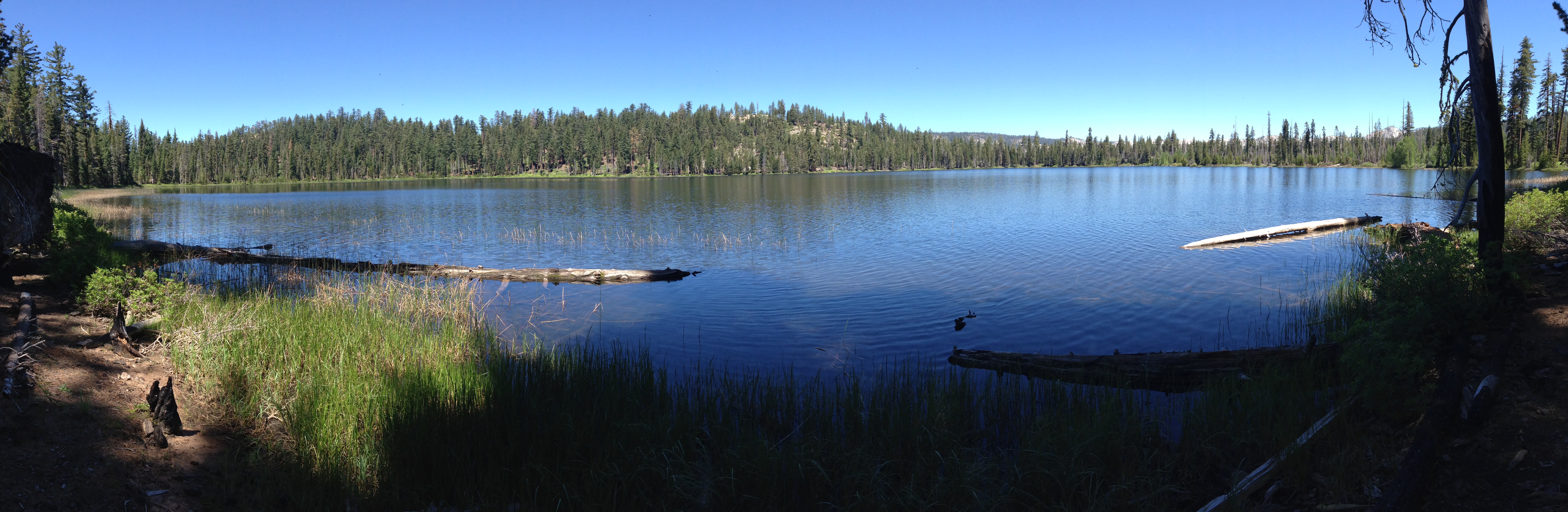
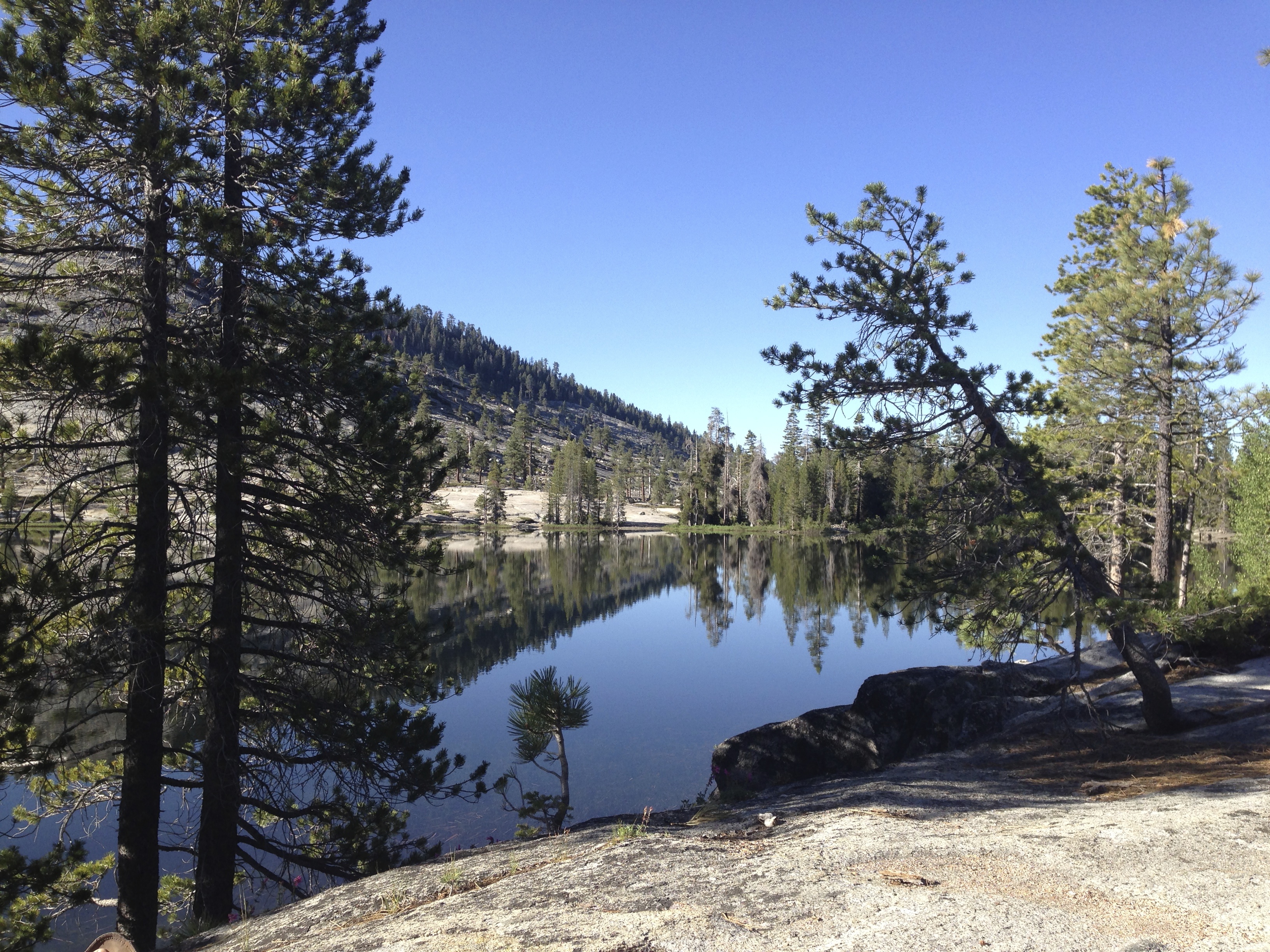
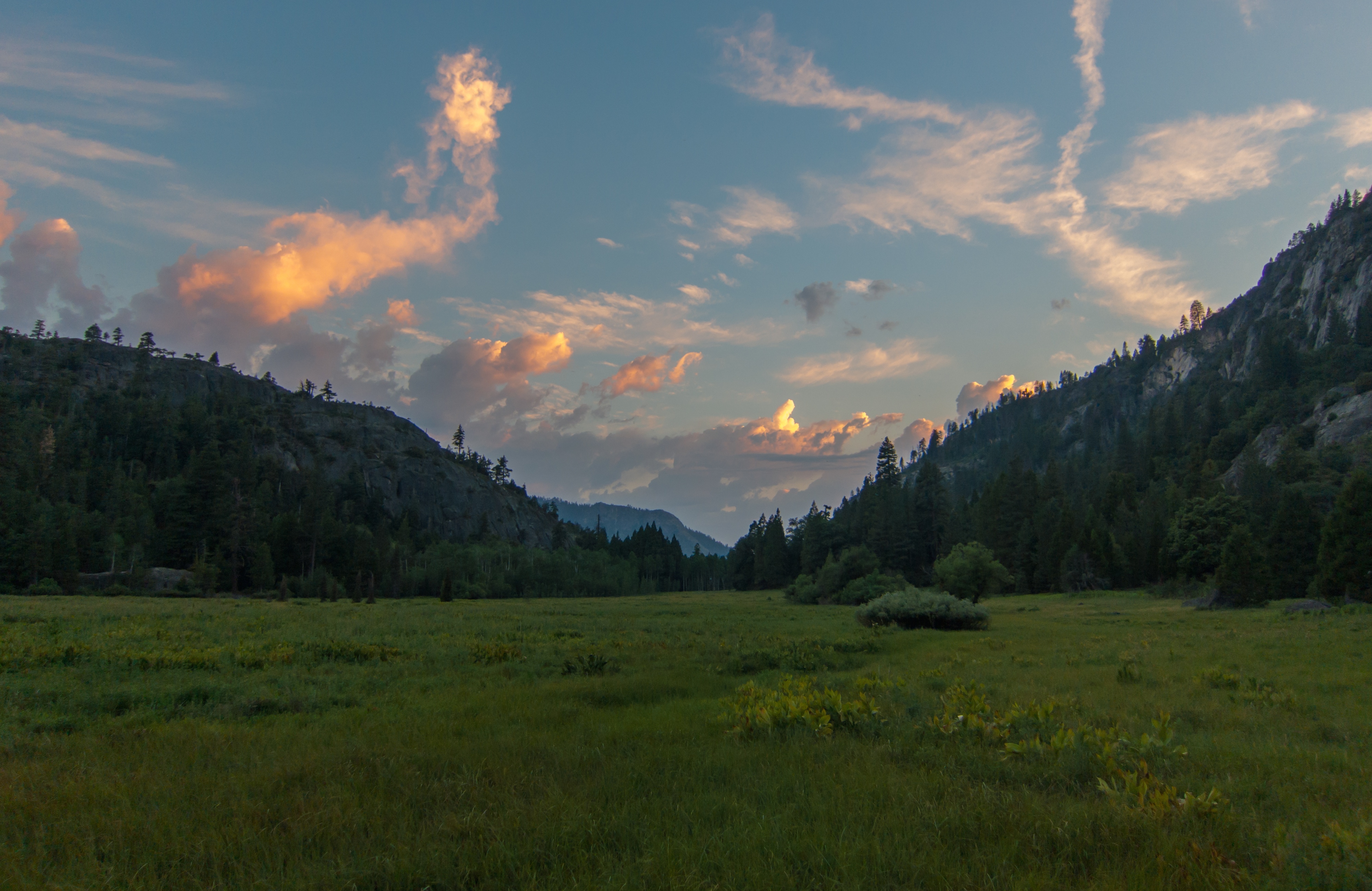
Looking down at Vernon Lake
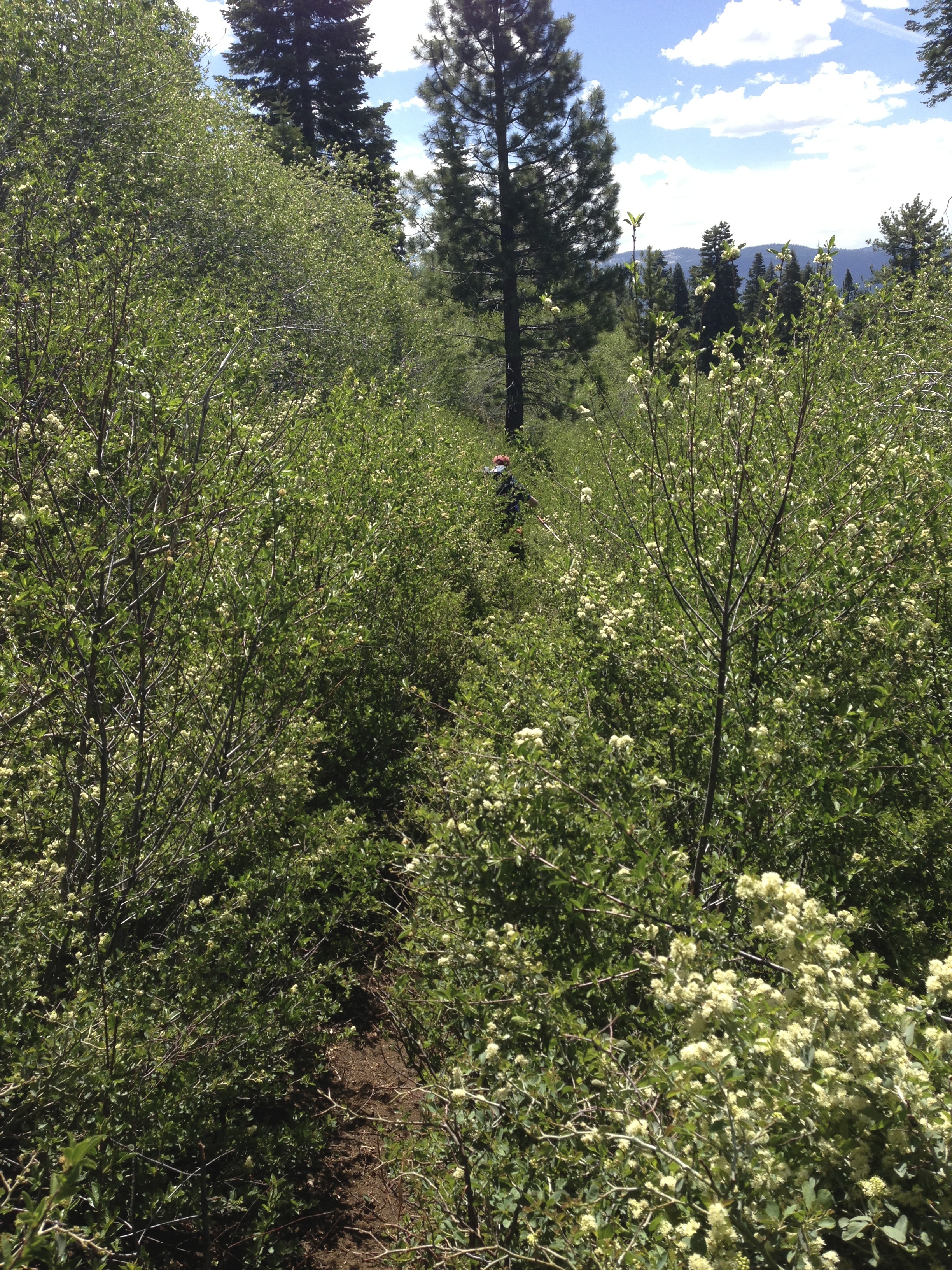
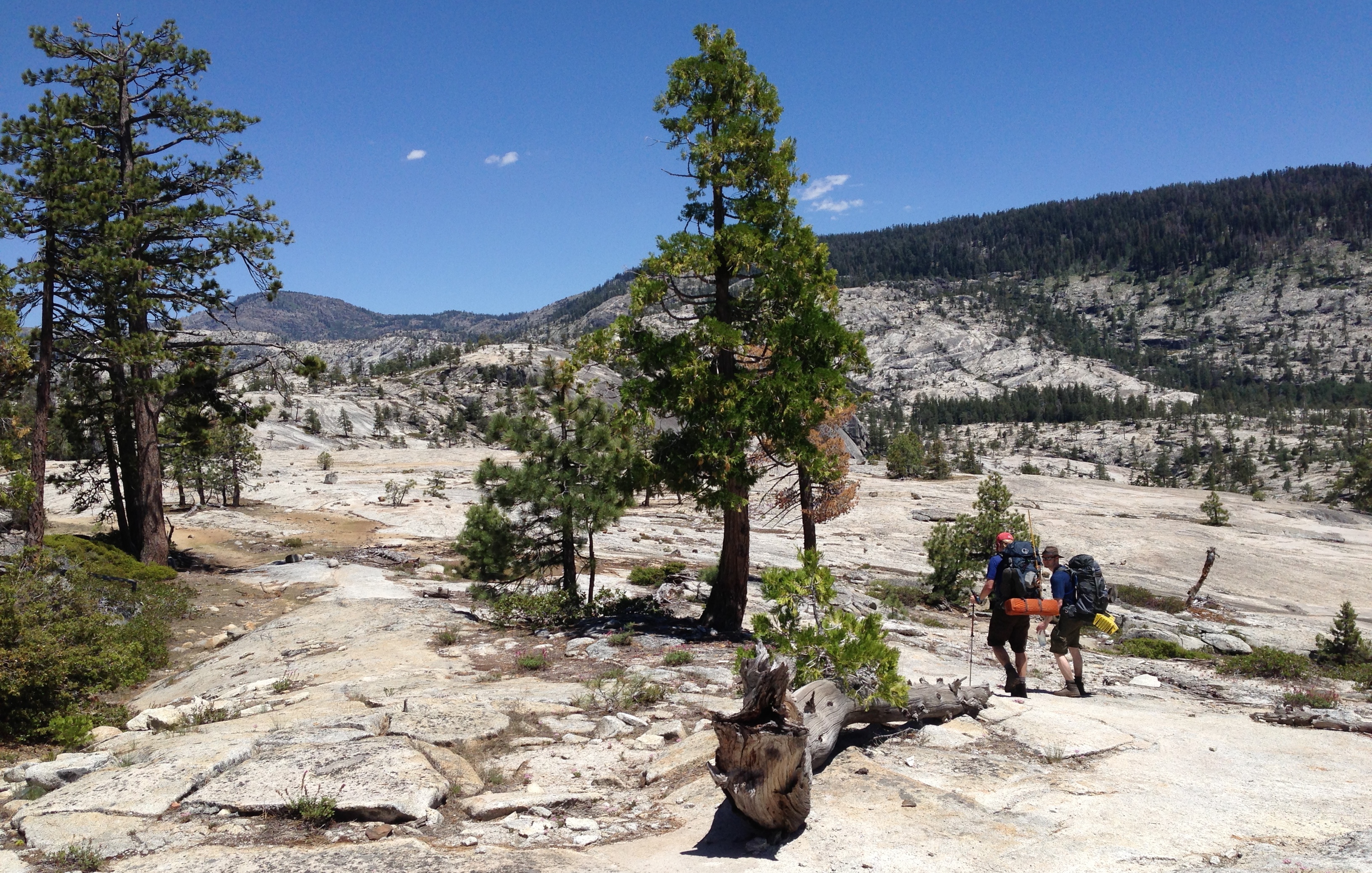
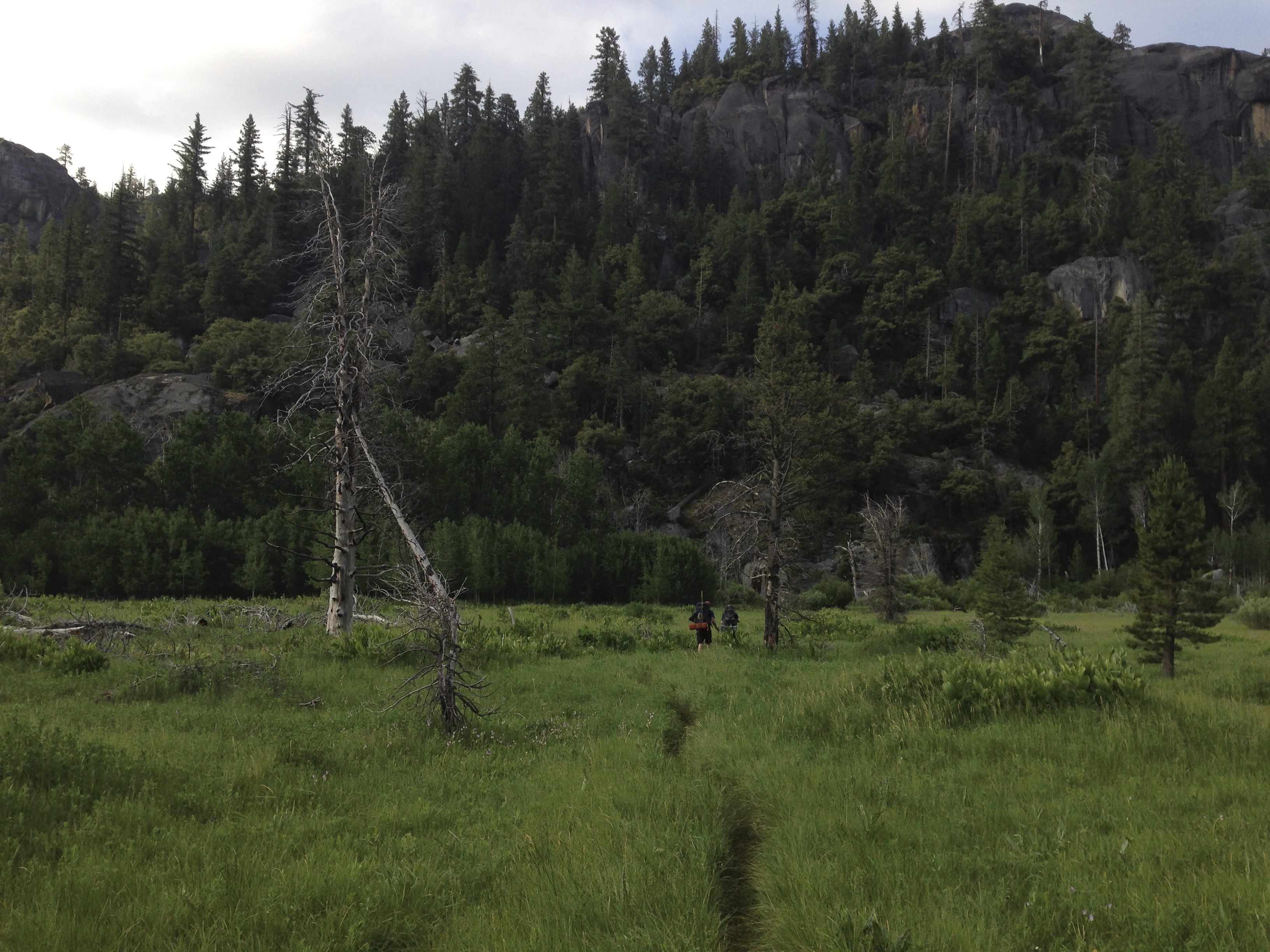
There’s a trail through there somewhere…
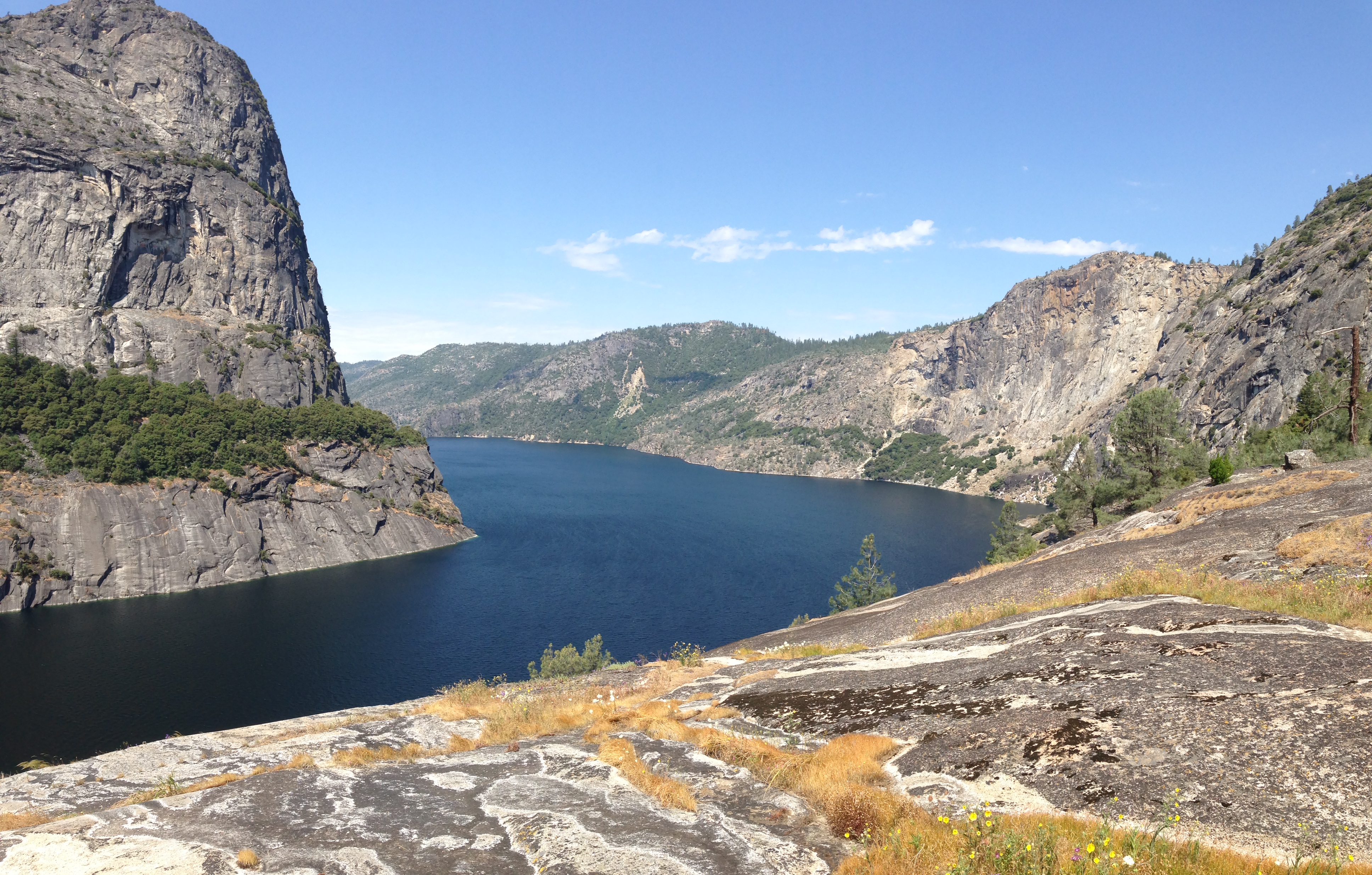
Crossing the ridge brought us into another stretch of forest recovering from fire. The chaparral was above head level and the trail was in serious need of maintenance. The hiking turned into bushwhacking. As we descended through the chaparral we were giving some beautiful views of Hetch Hetchy Reservoir Valley.
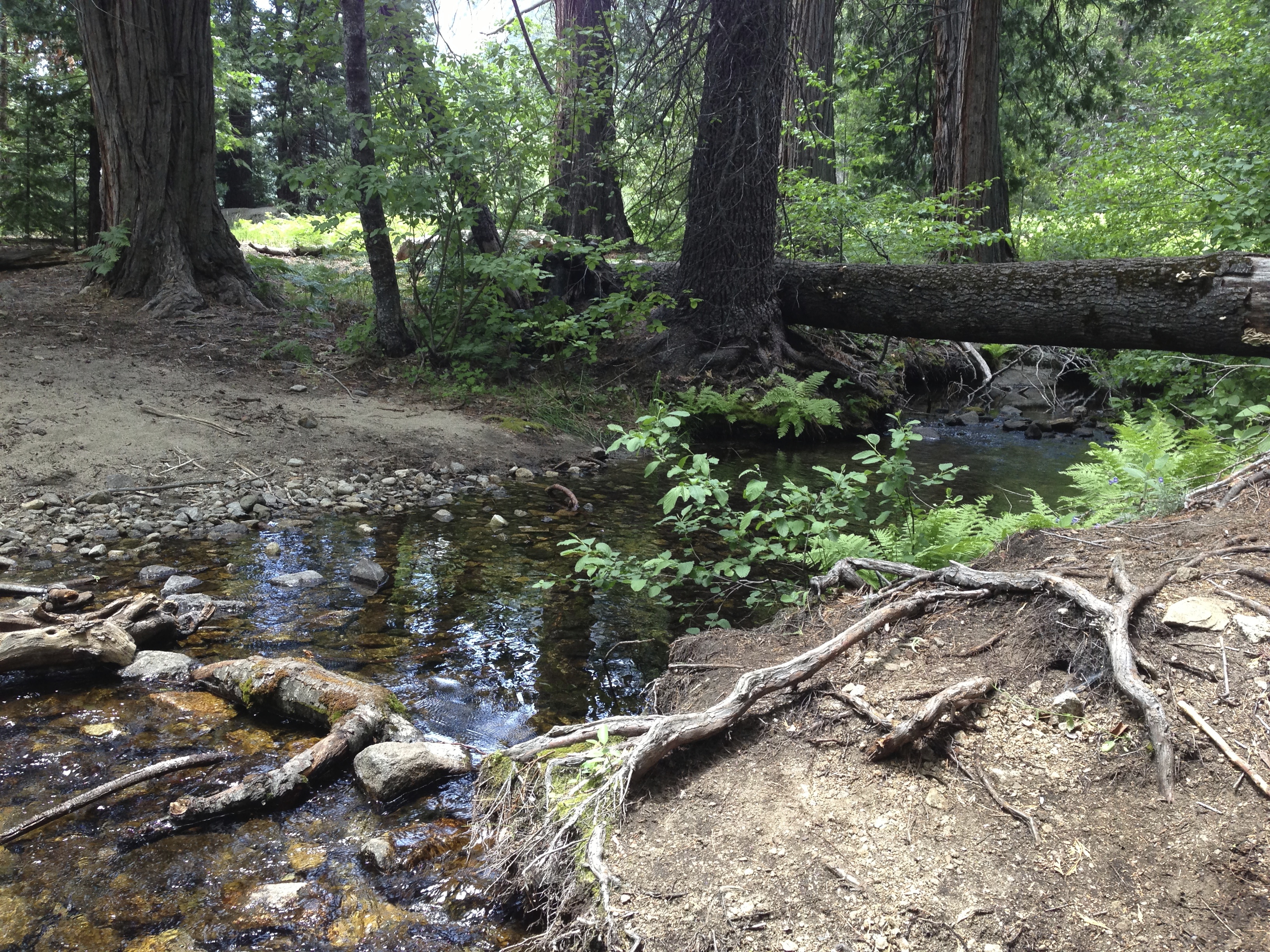
We descended down a long series of switchbacks into Tiltill Valley. We stopped here for lunch and a water refill. It was about 1PM and I had already burned through most of my 3.5L supply. I also took the time to rinse off the thick layer of dust that coated my face. The water was cold and refreshing.
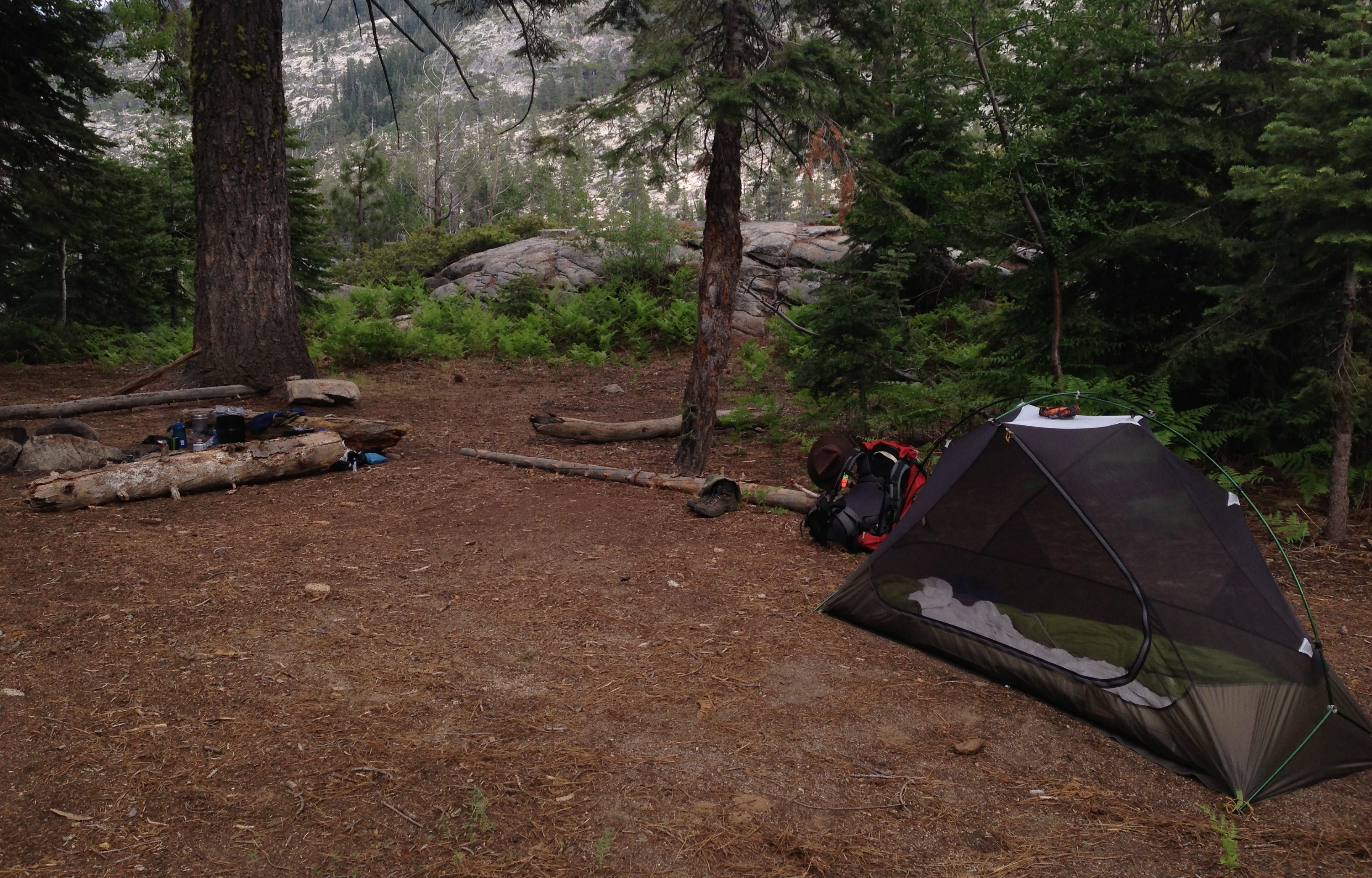
As we packed up from lunch we heard a faint rumble of thunder in the distance. After a few more rumbles we determined that the storm was heading in our direction. The map showed the trail moving into more exposed terrain, so we decided to make camp here at Tiltill Creek rather than risk being caught on open granite.
 With my tent up, I climbed in just as the first rain drops began to fall. It was quite warm in the tent, but with thunder cracking over head, I thought we had made the right choice.
The storm was louder than wet. The wind picked up as the thunder carried on and the drizzle stayed heavy enough to keep us in the tents. This continued for a couple hours, but by 5:30PM the wind died down and the sky cleared up just in time for a spectacular sunset!
The mosquitoes made it another early night. I was hopeful that they would stay in the high country as we descend to the reservoir the next day.
Sunset at Tiltill Valley (Photo Credit: Paul)
Day 3: Tiltill Valley to Hetch Hetchy Backpacker Camp (June 10, 2013)
 The sun returned early the next morning bringing with it mosquitoes and humidity. We took care of breakfast and packing up camp quickly. This was probably the worst morning of mosquitoes. The trail took us strait across the valley through tall grass, marshy ground, and a thick cloud of mosquitoes that were un-phased by the DEET. We moved quickly!
The mosquitoes hassled us until we got out of the valley and well over the ridge onto more exposed ground. It was a relief to get a break from swatting and slapping at the little winged beasts. As we worked our way down the switchbacks towards Rancheria Falls we passed a large group of hikers heading up to Tiltill Valley to do some trail maintenance and invasive species removal. The mosquitoes were certainly going to give them a hard time…
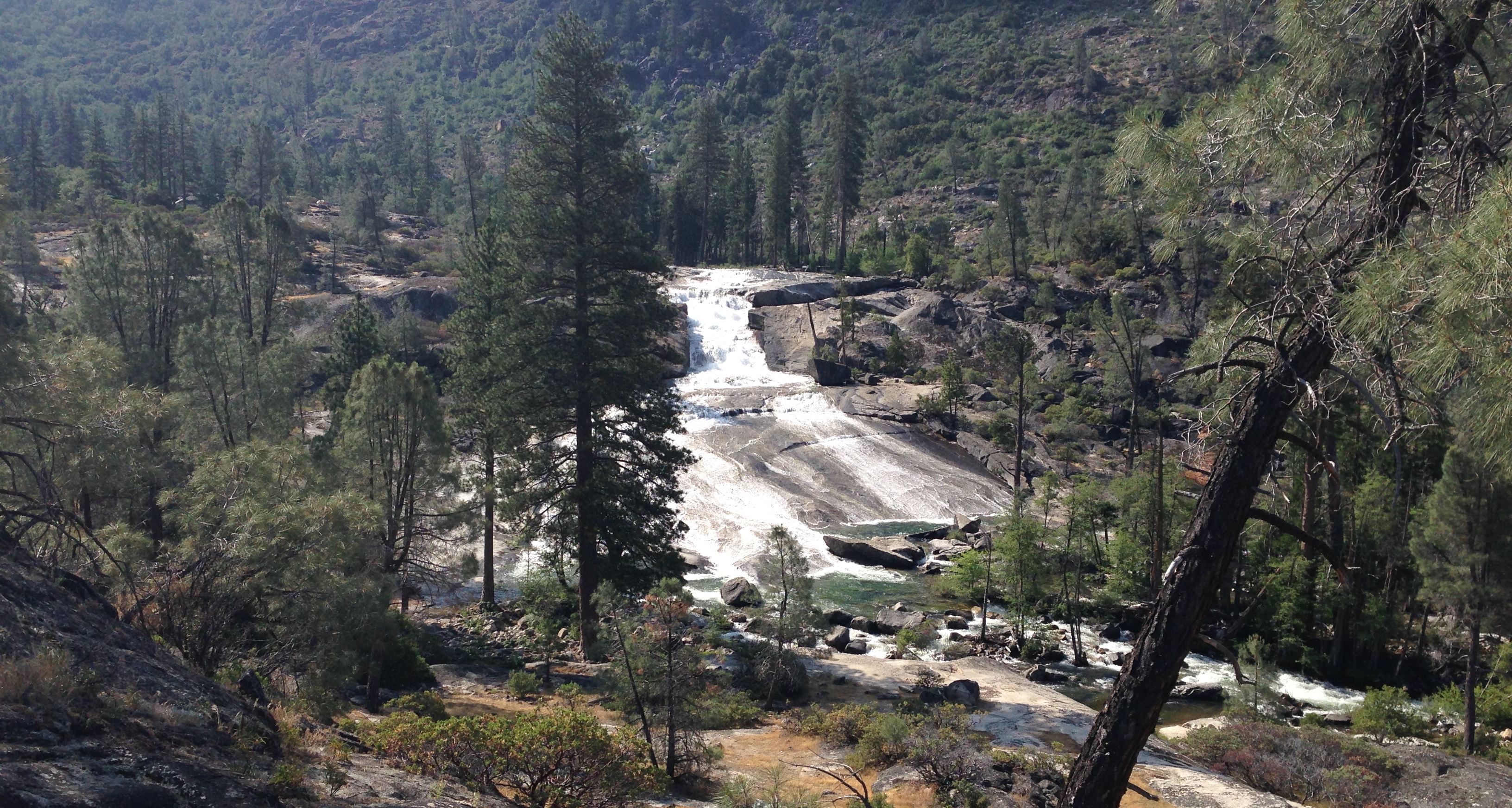
Rancheria Falls
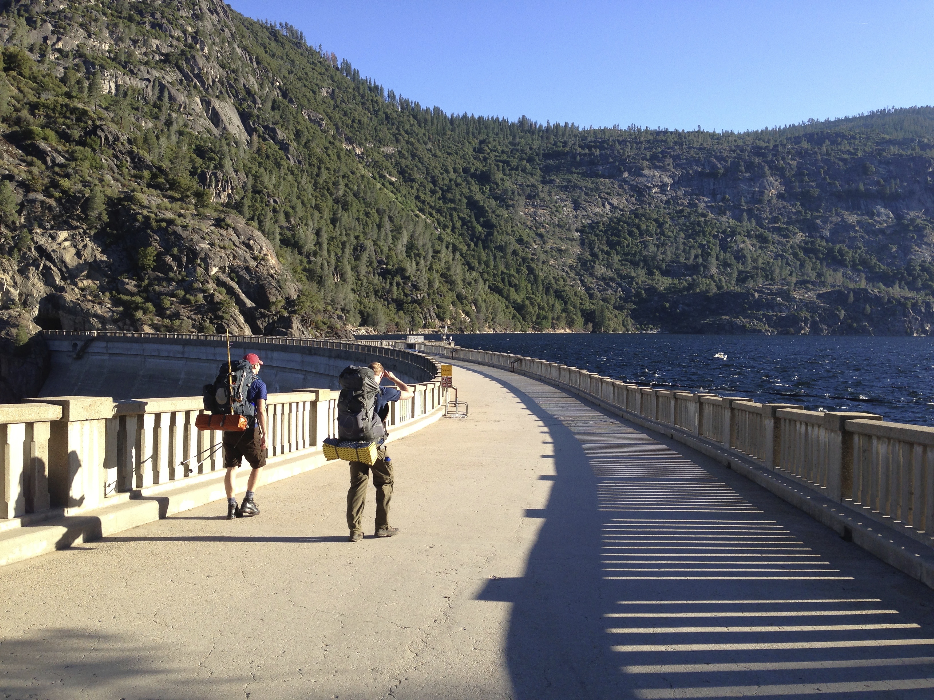
Rancheria Falls was a tent city. This must have been the staging area for the trail crew. From the falls, the trail moves above the shore of the reservoir several miles before returning to the dam. This was probably the most scenic stretch of the trip with many great views of the valley and crosses a couple waterfalls. It was a great stretch to finish the trip on!

——
Don’t miss the first part of this trip!
Find more photos on Flickr!